
Population, Settlements & Transport Quiz: Indian Geography Practice
10 questions on Census 2011 population facts, urban settlements, railways, roads, waterways, ports and pipelines of India. With explanations.
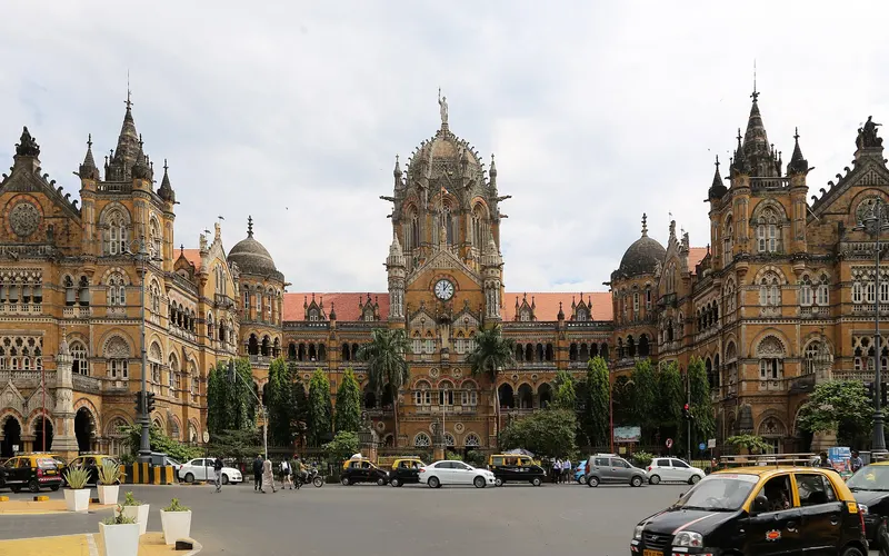
Population, Settlements & Transport Quiz: Indian Geography Practice
Tip: use keys 1-4 to answer, Enter for next.
Answers to the starter quiz
Spoilers! These are the Starter quiz’s answers. Easy, Medium, Hard and Mixed rounds show their own answers when you finish.
According to Census 2011, India's overall sex ratio was:
- 927 females per 1,000 males
- 933 females per 1,000 males
- 943 females per 1,000 males
- 951 females per 1,000 males
Answer: 943 females per 1,000 males. The sex ratio rose from 933 in 2001 to 943 in 2011. The child sex ratio (0–6 years), however, fell to 919.
According to Census 2011, which state had the highest population density?
- Bihar
- West Bengal
- Kerala
- Uttar Pradesh
Answer: Bihar. Bihar had 1,106 persons per sq km, against a national average of 382. Arunachal Pradesh had the lowest density.
According to Census 2011, which state recorded the highest sex ratio?
- Tamil Nadu
- Kerala
- Goa
- Himachal Pradesh
Answer: Kerala. Kerala had 1,084 females per 1,000 males, the highest among states. Haryana had the lowest at 879.
Which of the following is NOT one of the Census criteria for a 'census town'?
- A population of at least 5,000
- A density of at least 400 persons per sq km
- At least 75% of the male main workers in non-agricultural work
- Having a municipality or municipal corporation
Answer: Having a municipality or municipal corporation. Places with a municipality, corporation or cantonment board are statutory towns. Census towns meet the three demographic criteria without such a body.
The first passenger train in India, in 1853, ran between:
- Howrah and Hooghly
- Madras and Arcot
- Bombay and Thane
- Delhi and Agra
Answer: Bombay and Thane. It ran on 16 April 1853 from Bori Bunder in Bombay to Thane, a distance of about 34 km.
The East–West Corridor of national highways connects:
- Silchar and Porbandar
- Srinagar and Kanyakumari
- Delhi and Kolkata
- Mumbai and Guwahati
Answer: Silchar and Porbandar. The North–South Corridor links Srinagar and Kanyakumari; together with the Golden Quadrilateral joining Delhi, Mumbai, Chennai and Kolkata, they formed the core of the National Highways Development Project.
National Waterway 1 runs on the Ganga–Bhagirathi–Hooghly river system between:
- Sadiya and Dhubri
- Haldia and Prayagraj
- Kottapuram and Kollam
- Kolkata and Patna only
Answer: Haldia and Prayagraj. NW-1 (about 1,620 km) is between Haldia and Prayagraj. NW-2 is on the Brahmaputra (Sadiya–Dhubri); NW-3 is the West Coast Canal in Kerala.
Kandla port (now Deendayal Port) in Gujarat was developed after Independence mainly to:
- Export iron ore from Goa
- Serve as a naval base
- Handle oil from Mumbai High
- Make up for the loss of Karachi port after Partition
Answer: Make up for the loss of Karachi port after Partition. With Karachi in Pakistan, north-western India needed a new major port. Kandla is a tidal port in the Gulf of Kachchh.
The Konkan Railway passes through which states?
- Gujarat, Maharashtra and Goa
- Maharashtra, Karnataka and Kerala
- Maharashtra, Goa and Karnataka
- Goa, Karnataka and Kerala
Answer: Maharashtra, Goa and Karnataka. Completed in 1998, it runs about 740 km from Roha in Maharashtra through Goa to near Mangaluru in Karnataka, crossing many rivers and tunnelling through the Western Ghats region.
The HBJ pipeline, linking Hazira with Bijaipur and Jagdishpur, carries:
- Crude oil
- Natural gas
- Drinking water
- Iron ore slurry
Answer: Natural gas. The Hazira–Bijaipur–Jagdishpur gas pipeline supplies natural gas from the west coast to fertiliser and power plants in MP and UP.
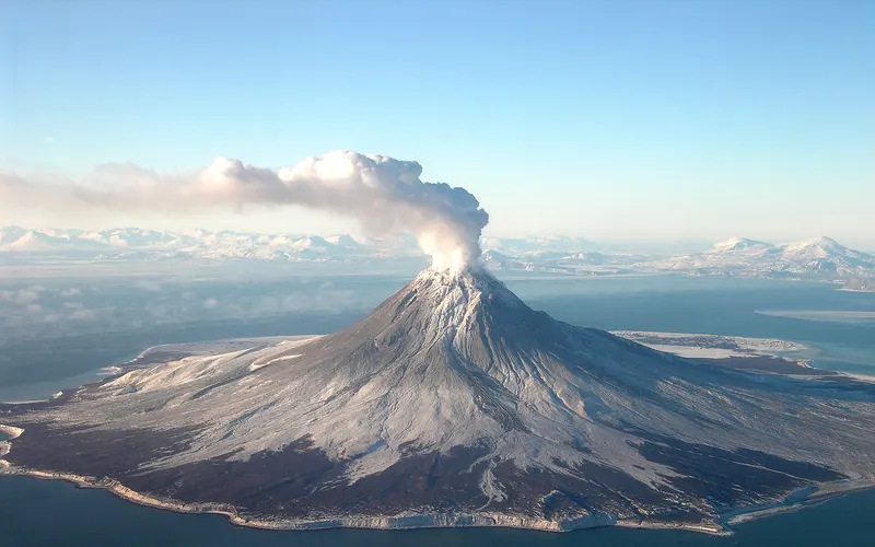
Geomorphology Quiz: Interior of the Earth, Plate Tectonics & Landforms
10 questions on the Earth's interior, seismic waves, plate boundaries, rocks, earthquakes and landforms made by rivers, wind, ice and groundwater.
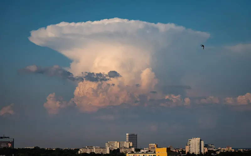
Climatology & Oceanography Quiz: Physical Geography Practice
10 questions on atmospheric layers, pressure belts, planetary and local winds, cyclones, ocean currents and tides. Physical geography with explanations.
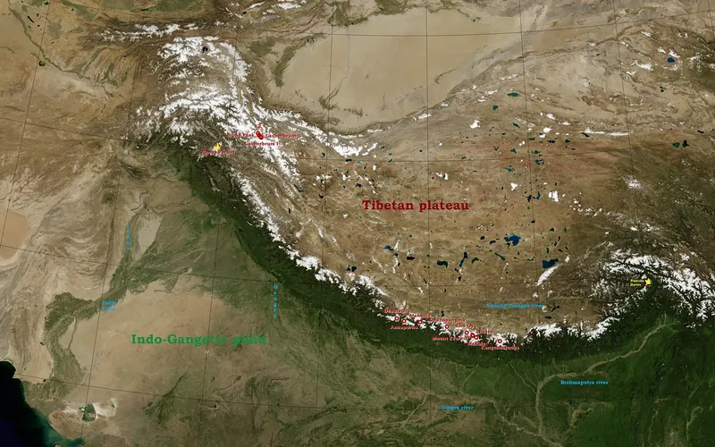
Physiography of India Quiz: Himalayas, Plains, Plateau, Coasts & Islands
10 questions on India's physical divisions: Himalayan ranges, bhabar and khadar, peninsular hills and peaks, coastal plains and island groups.
Indian Climate & Monsoon Quiz: Seasons, Winds and Rainfall
10 questions on India's monsoon climate: onset and retreat, western disturbances, pre-monsoon showers, local winds, rain shadow areas and El Nino.